Relief map collection
ETH Zurich's relief map collection is unique and contains about 80 reliefs.
Curator
Inst. für Geochemie und Petrologie
Sonneggstrasse 5
8092
Zürich
Switzerland
Image gallery
Image gallery relief mapsAround 20 relief maps are on display in various locations in the NO building, where the Department of Earth and Planetary Sciences is housed. And roughly sixty more, partly unpainted relief maps are in storage or on loan to museums.
History
Under the direct guidance of Albert Heim or on his initiative, numerous relief maps were sculpted, cast and painted geologically for the Zurich universities from around 1890. The depiction of geological-topographical phenomena in small so-called type reliefs is a hallmark of Heim’s work. Copies of some of these relief maps are located at other Swiss institutions today. More often than not, however, the Zurich piece remained the only example.
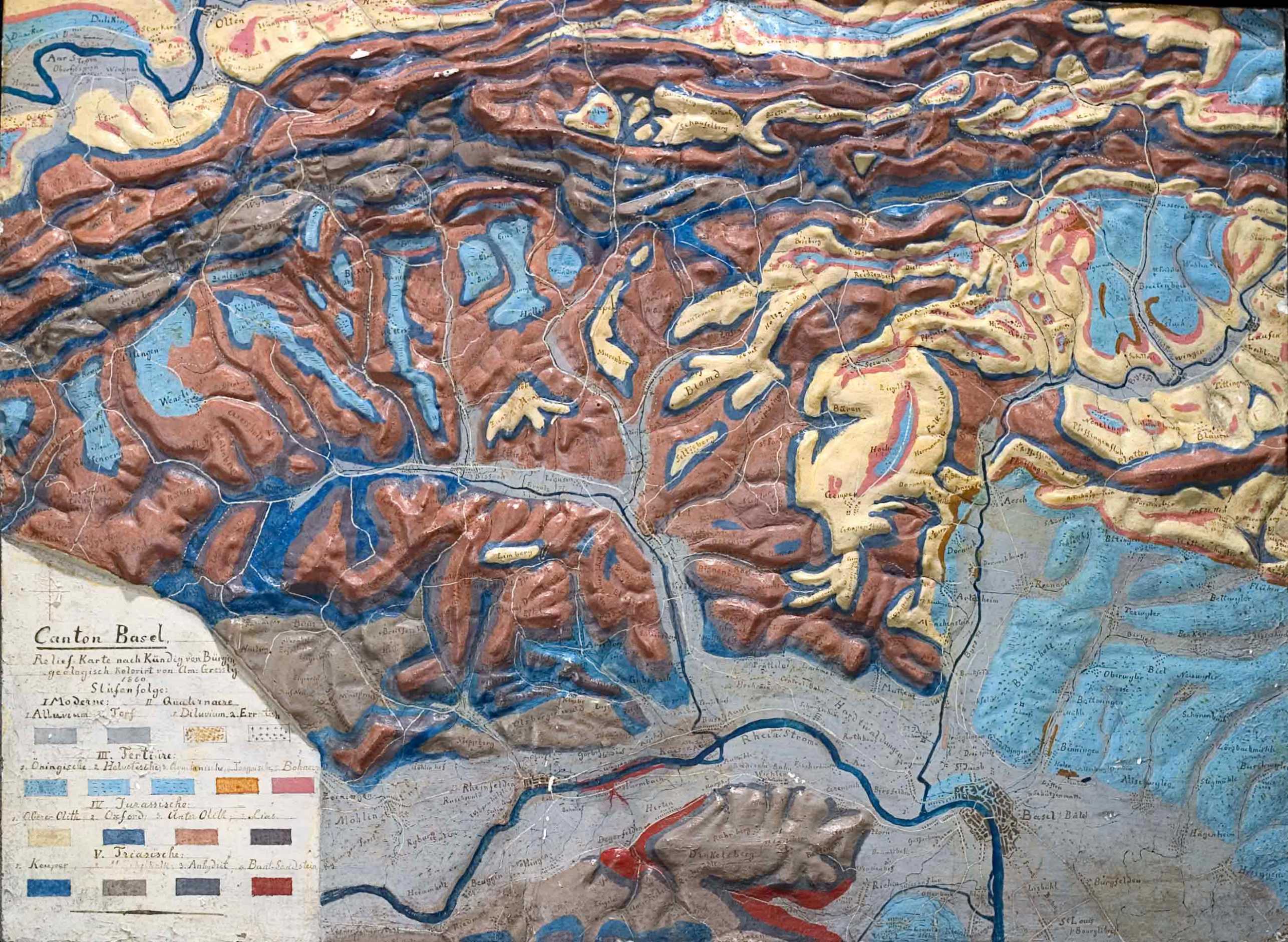
The oldest relief map in the collection is the depiction of the Basel Jura created by the famous geologist Amanz Gressly (1814–1865) from Neuchâtel in around 1860. Despite its simplicity, the piece is historically very interesting.
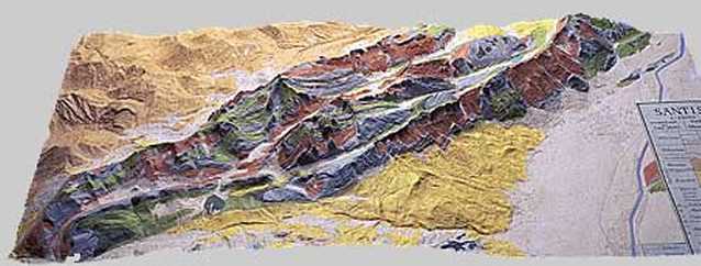
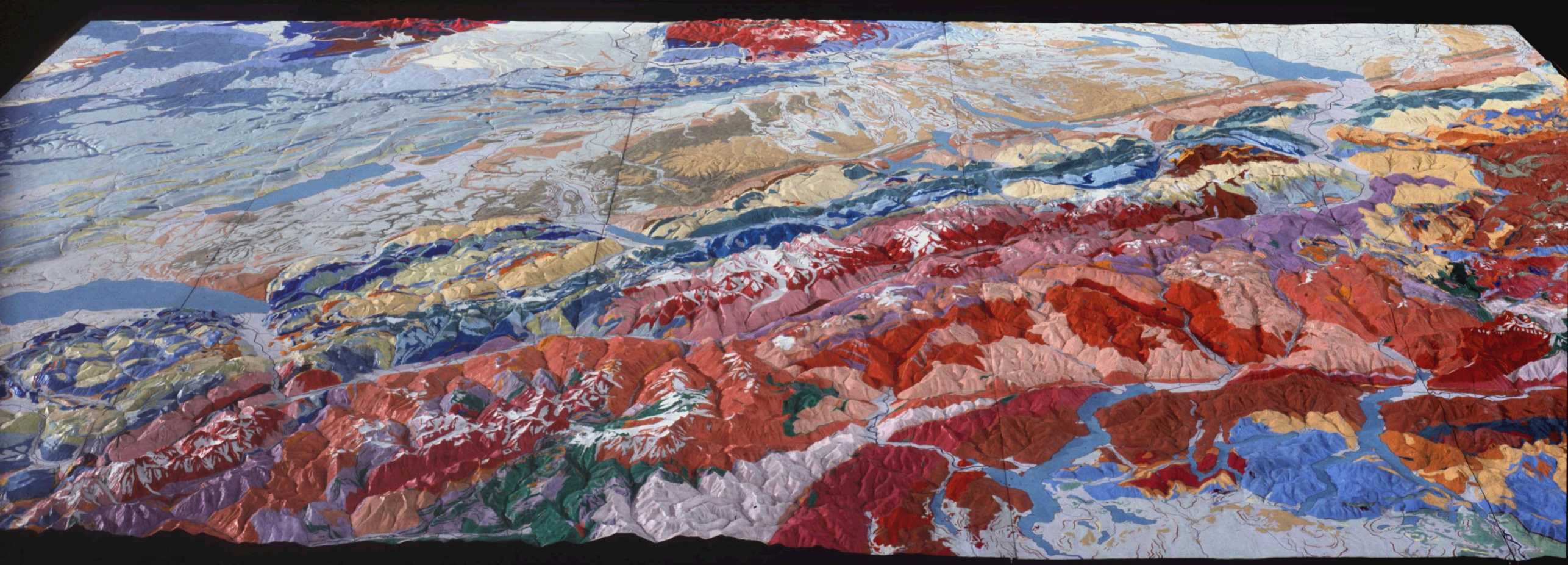
The relief map of the Säntis Massif by Albert Heim and Carl Meili on a scale of 1:5'000 and the vertically installed and illuminated geological relief of Switzerland by Charles Eugène Perron and Rudolf Staub on a scale of 1:100'000 are also noteworthy pieces.


